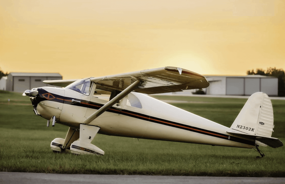












First instrument flight:September 24, 1929
Site:Mitchel Field, Long Island, N.Y.
Pilot:Lt. James Doolittle
Plane:Consolidated N-2 (biplane similar to Stearman)
Altitude data:Kollsman Altimeter
Altimeter feature:Barometric setting (a first)
Attitude data:Sperry Artificial Horizon
Directional information:Sperry Directional Gyro
Instrument approach equipment:Audible Localizer
Method of simulated IFR:Hood covered entire front-seat position
Outside conditions:Clear, visibility unlimited
Length of flight:15 minutes
Instrument time logged by Doolittle:15 minutes
Number of instrument approaches:1
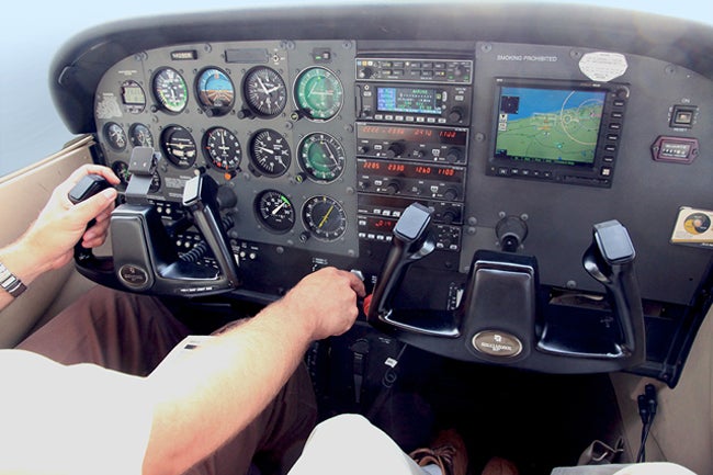
First autopilot: 1912
First successful autopilot flight:1914
Inventor:Lawrence Sperry
First practical autopilot:1930
First coupled autopilot (navigation integration):1947
Platform:Consolidated C-54
Length of flight:Transatlantic
Inventor of first coupled autopilot: Bill Lear (yes, that Bill Lear)
Honors for invention:Collier Trophy, 1949
First artificial instrument approach system:Four-course range, 1929
First development of VORs: 1937
Widespread implementation:1946
Number of VOR stations worldwide:Approximately 3,000
Number in the U.S.:957
Anticipated number in 2025:637
Reason for keeping VOR:Backup in case of GPS outage
Legacy of VORs:Namesake for Victor Airways
First development of long-range nav: LORAN 1940
Accuracy of first LORAN installations:Tens of miles
Introduction of LORAN aviation navigators:1970s
First ILS (lateral and vertical guidance):1939
First installations:Six airports, 1941
First successful ILS approach:Pittsburgh, 1939 (DC-3 in a snowstorm)
First distance-measuring equipment (DME):1948
Development of radar surveillance:World War II
Implementation of radar approaches:1951
Microwave Landing ââSystem (MLS) adopted: 1980
Advantages of MLS:Customizable approach and glide-slope paths
FAA’s abandonment of MLS:1994
Reason for abandonment:Satellite-based approach systems
First precision GPS approach equipment:Garmin GNS 480, 2004
Number of satellite-based approaches, U.S. airports:Approximately 19,000
Airports served by at least one satellite approach:Approximately 12,000
Number of satellite approaches at non-ILS runways:Approximately 1,800
Number of GPS approaches with vertical guidance, U.S. airports:3,748
Number of WAAS approaches at non-ILS airports:1,064