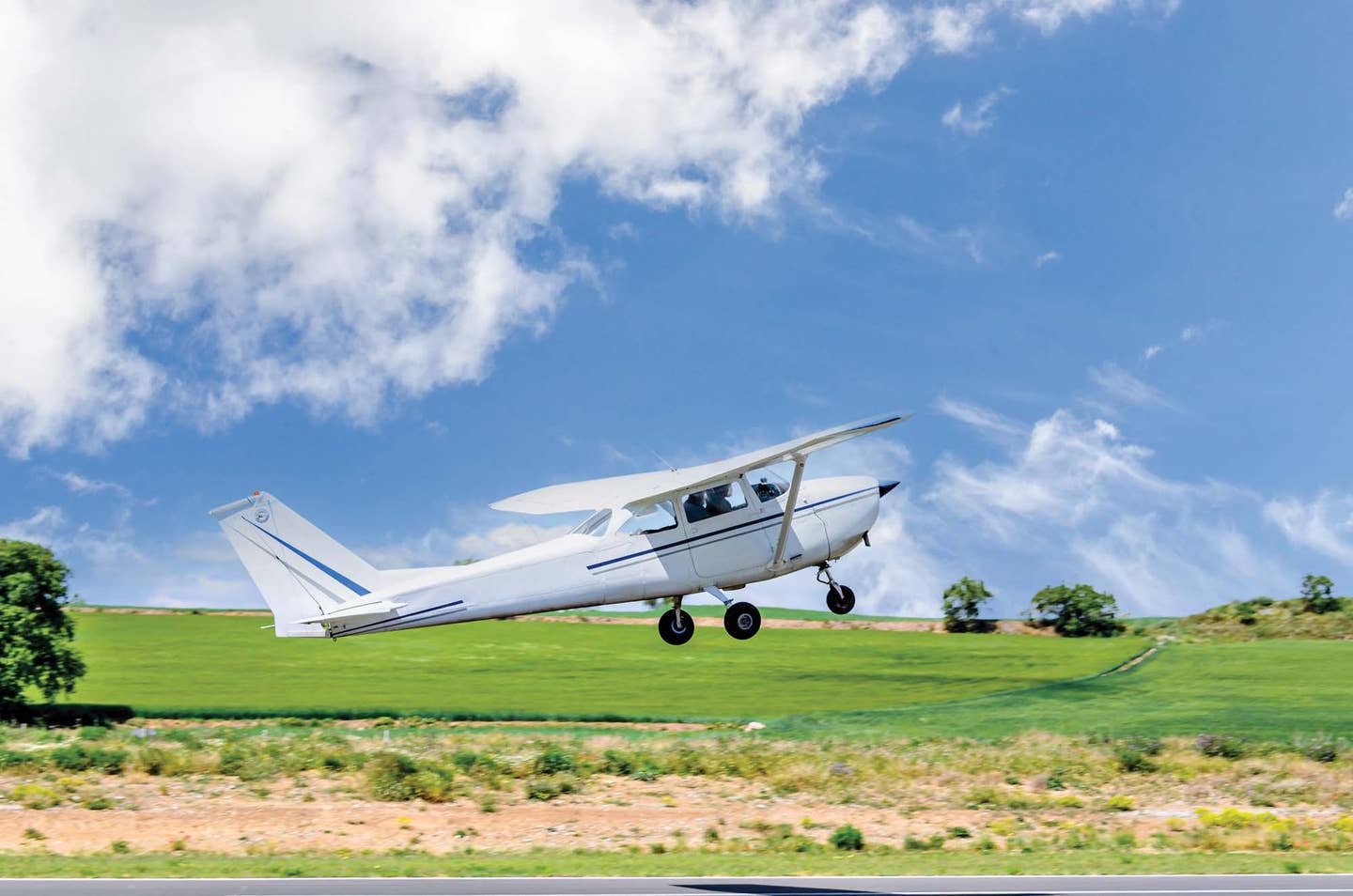
Flying In High Terrain
How to raise your game when the ground starts climbing.
When the weather is hot and the altimeter is sky high, your plane performance will be less than ideal. Here’s how to deal with that density altitude penalty.
There are generally two kinds of pilots who fly in and out of the mountains. The first are the more experienced mountain flyers who live and fly in Alaska, Western Canada, the Rockies and the more rugged parts of the Appalachians, among other mountainous locales. These folks are immersed in the environment and are a very special resource for the pilot community. They know the ins and outs of high-elevation flying because they live it every day.
The second group is composed of the rest of us. When we head west, we often fly hundreds of miles out of the way through New Mexico and Northern Arizona to avoid the high peaks, only to discover that this route is strewn with rugged peaks, high deserts and even higher elevation airports. Back east, the Appalachians can contain some high-elevation surprises as well. Our friends in the U.S. Air Force encountered some of these issues more than 50 years ago, so let's start with what they learned.
Flight Without A Fin
Back in 1964, the U.S. Air Force found itself in a quandary. The high-flying B-52 Stratofortress was being asked to fly well below 1,000 feet to evade radar detection. Soon, B-52 crews began to report concerning turbulence encounters. So, the Boeing Company "borrowed" a B-52H from the active fleet, outfitted it with sensors, and began looking for turbulence.
It did not take them long to find it. The flight crew started its day in Kansas flying at 500 feet. Entering Colorado, they eventually turned north and began climbing from the 6,500-foot local elevation to 14,000 feet, about 1,000 feet higher than nearby East Spanish peak. There, they encountered a strong mountain wave-induced rotor caused by 60-knot winds. In a matter of seconds, the vertical stabilizer was torn from the aircraft. Only the quick thinking of the crew saved the aircraft, which landed in Arkansas.
This incident, and the research that followed, helped the entire pilot community understand the challenges posed by mountain ridges and strong winds. So, what can we learn from their experience?
Mountain Waves
Many believe that mountain wave formation is a Rocky Mountain phenomenon, thanks to the tall and rugged peaks. However, some of the strongest wave formation is encountered in the Appalachians along the Virginia/North Carolina border in the vicinity of Mount Rogers. Pilots flying through this region in late fall through early spring routinely report powerful up and downdrafts. Head out to the West Coast, and the Los Angeles basin is another prime wave zone. Strong winds off the Pacific Ocean are not uncommon. They make for clear days in the greater Los Angeles area, at the same time creating powerful wave turbulence over the mountain ranges and passes that separate Los Angeles and the Empire from the deserts to the north and east and the coastal valleys to the north. So, what might this look like?
Consider a Cessna 172 pilot flying eastbound out of San Diego at 8,000 feet. The pilot notes the sky is clear and the groundspeed on the GPS shows a 50-knot tailwind. So far, so good. As our pilot approaches the first set of 5,000-foot peaks, the aircraft begins to be pushed upward by the wave action. At this point, our savvy pilot, knowing what goes up will eventually come down, calls to ATC to ask for clearance to ride the wave up to 9,000 feet. Once on the lee side of the peak, the wave pulls the aircraft back down to 8,000 feet. Thankfully, the ATC controllers in these regions are aware of the effects and are usually eager to help. However, every pilot must be aware that this kind of passage can result in an encounter with strong up and downdrafts, complete with severe turbulence and high structural loads.
Now, how about flying westbound into the wind? For that, let's go a bit further north to the Tehachapi Pass area that divides the central valley of California from the high desert, which begins just west of Edwards Air Force Base. Crossing the pass from east to west in strong winds, the unsuspecting pilot may encounter robust downdrafts, stronger than the maximum climb rate of their airplane. If these winds are encountered, a 180-degree turn back toward lower terrain is likely the best medicine. In any case, always have a way out!
While Tehachapi and the Los Angeles Basin are places where mountain wave formation is common, they are by no means the only places where these conditions occur. Anywhere where the winds are over 20 knots and the peaks extend to within a thousand feet of your aircraft, especially in areas where lenticular or rotor clouds are present, should be approached with extreme caution or avoided.
A Word About Autopilots And Wave Action
Before we leave the subject of mountain wave turbulence, let's review the behavior, or misbehavior, of many two-axis autopilots. If a pilot is approaching a ridgeline and encounters a strong updraft, the autopilot will attempt to maintain altitude. This dogged persistence to hold the altitude steady can increase the indicated airspeed well past turbulent air penetration speed.
It also reduces the altitude cushion available when the inevitable downdraft appears on the far side of the peak. Conversely, if the airplane is approaching a ridgeline into a strong headwind, the autopilot will try to maintain altitude by increasing pitch (thereby reducing airspeed). This loss of energy can mask the severity of the encounter until it is too late to turn around. So, when in doubt, take charge and turn around.
Density Altitude
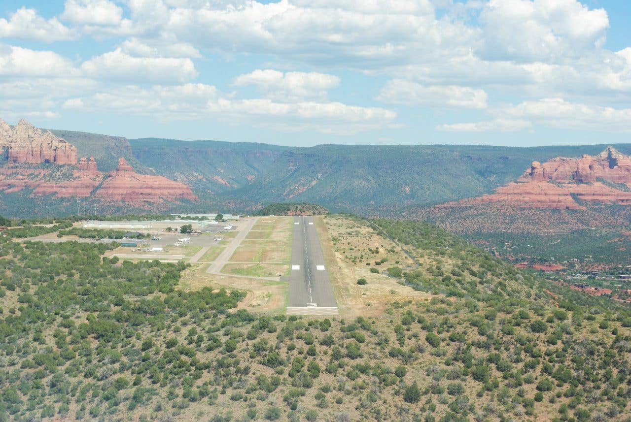
The airport in Sedona, Arizona, is nestled in the stunningly beautiful red rocks that dominate the northern part of the state. The airport sits on a butte approximately 5,000 feet above sea level in the western terminus of the Mogollon Rim. This is Zane Gray country, for all you western novel fans, and is a popular destination for pilots from the greater Phoenix area, 85 miles to the south and nearly 4,000 feet below. Sedona Airport has awesome views of the red rocks, an amazing airport restaurant, and more than its share of general aviation accidents.
In the summer, locals who know the area fly in and out in the early mornings or late afternoon, when the air is denser, the winds lighter, and all is right with the world. However, by mid-afternoon on a summer day, the density altitude can easily exceed 8,000 feet, and the wind gusts can be quite strong. Pilots normally land on either Runway 3 or 21, but, if the winds permit, they often depart to the southwest on Runway 21 due to the high terrain to the north. However, strong winds can flow down from the San Francisco peaks in nearby Flagstaff and create strong downdrafts at the immediate southern edge of the airport. These downdrafts and the high-density altitudes can exceed the rate of climb of arriving or departing general aviation aircraft. So, enjoy the amazing views of Sedona, but plan your trip carefully to avoid the pitfalls.
It Gets Real Dark In The Mountains!
Night flying in the foothills of the east and the ridgelines of the southwest presents its own set of problems. While it is very tempting to sample the cool night air and light winds typical of evening hours, there are a few hazards to be reckoned with. In the Appalachians, airports are fewer and farther apart and are usually nestled in a deep valley between two parallel forested ridgelines.
In the daytime, this is a feast for the eyes. At night, it may be a bit more challenging. In the southwest, the airports are located 50 to 75 miles apart, separated by 5,000 to 6,000-foot ridges, and often unattended at night. On moonless nights, the sparse desert ground lights and the starlight above can merge, making it difficult to figure out which way is up. And if the pilot sees a large dark area ahead, it is usually a mountain.
So, if our pilot is descending toward a nearby city, and it suddenly disappears, it is time to climb immediately to avoid the granite peak just ahead. In fact, on dark nights, it is often best to remain at altitude until you're over the last mountain range and then descend when over the lights of the destination. It makes great sense, in fact, to fly the airways even when VFR and flying direct and maintain their recommended minimum altitudes.
So, What Is A Pilot To Do?
Some basic rules of thumb might be helpful. First, if the winds are forecast to be over 20 knots within 1,000 feet of the ridgelines, prepare for the presence of mountain wave activity and always have a plan B. Second, if we see those uniquely shaped lenticular clouds on top of the ridges, suspicions confirmed---it's time to consider and execute an alternate plan. Third, in the high desert, consider flying in the early mornings and later afternoon, when the temperatures are cooler, the winds are lighter, and our airplanes have more pep and vigor.
Oh, and if a night flight is on the agenda, consider the risks it presents in high terrain or sparsely populated mountain regions. And finally, when in doubt, check with the local CFI or the destination airport to see if there are any peculiarities, preferred routes or hazards. We have the best seat in the house for some of the most beautiful terrain in the world. With a little preparation, we can make it a safer journey. Fly safe!
Do you want more pro tips? Check out "Deadly Attitudes: Know How To Spot Risky Thinking."
Read more about flying in high terrain with "Flying in the High Country" and "Flying Across The Rocky Mountains At Night."

Subscribe to Our Newsletter
Get the latest Plane & Pilot Magazine stories delivered directly to your inbox

