
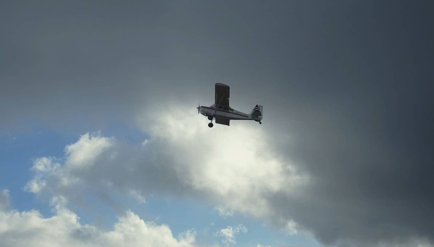
I was pounding along in the ancient Aeronca, clinging to the four-lane highway under my left elbow while rain and low scudding clouds enveloped me.
Emergency IFR was out of the question, given the sparse panel in front of me, so my only option was executing “helicopter VFR” by maintaining ground contact and forward visibility with reduced airspeed. I cursed my decision to depart in developing low weather, but the only choice now was to press on through the crud, dodging cellular towers lining the highway.
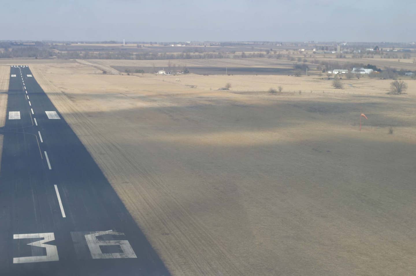
The conditions were a mile of visibility and about 500 feet of ragged ceiling, barely enough to maintain orientation by landmarks passing below. Knowing there was a roadside airport waiting a few miles ahead, I delayed the alternative of an off-airport landing in a pasture, which I certainly would have done had the weather worsened and gone down to the ground.
Soon, the eagerly expected runway came into view, and the briefest of traffic patterns put us on the pavement, rolling out in relief. A call to home base for a land-supported retrieval provided ample opportunity for explanation in response to my peers’ interrogation: “What were you thinking, flying in this weather?” Their chastisement was nothing compared to the self-flagellation I was already enduring.
And then there was the IFR trip that went all wrong when both the destination and alternate airport weather collapsed. We descended to ILS minimums to see only solid murk. My companion claimed to spot runway lights directly below as I executed the miss. Now, where to go? There was no point in trying another approach, and we’d already checked the alternate airport’s weather on the way in, which was equally bad. A hasty return to base was arranged, abandoning the mission while watching declining fuel reserves. We were out of options. It was go home or nothing. Fortunately, my originating airport’s weather held above minimums, and we only had to explain a pointless expenditure of avgas.
In both cases, we were up against low weather conditions that gave us little option. Whether VFR or IFR, you can only go so far down into deteriorated weather. One thing is certain: The aircraft must be put on the ground somewhere before its fuel supply is exhausted.
A low ceiling absolutely ends a planned flight, though visibility may be the legal determining factor in some situations. Knowing how low you can go, whether it’s at the bottom of a glideslope or when sneaking through a pass, and having the self-discipline to pull the plug when you reach that point, is simple piloting. Declining to participate in this process means you are just a passenger in the left seat, riding along to an accident.
VFR Options
There are a lot of reasons you can’t make a given flight under IFR. As in the first case above, the aircraft you’re in may not be equipped for instrument flight, or it may be minimally equipped, or be outfitted with doubtful, aging avionics. Its instrument-flight certification may have lapsed, making it only suitable for an emergency situation, but not legal for filing. And your own currency may be long out of date, despite your qualifications.
If the weather is not appropriate for instrument flight in light piston-engine airplanes, meaning the clouds contain ice, turbulence, or embedded thunderstorms, you’re probably better off using your VFR privileges, so long as you set strict limits. Under VFR, you have the option of instantaneous diversion without negotiation, including altitude changes. At the same time, you’ll have no charted guarantees of obstruction clearance and probably no ATC backup, so it’s just you and your wits against the elements. You may find yourself visiting some unplanned, unattended airports as you pick your way along.
Don't fly near the edges of the air. That's where you find trees, hills, buildings, and towers.
VFR flying, especially in marginal conditions, takes discipline and, oddly enough, if you haven’t done it for a while, you might be not be “current for VFR,” alone and unaided at low altitude. Nor is a pocket-rocket fast traveler best suited for such scud running. This sort of flying is best done in a slow cruiser with a good view of the terrain. If you feel the need to negotiate so-so VFR in a Cirrus or Baron, keep a minimum of 5 miles of visibility and stay alert for traffic and obstruction hazards.
Set specific personal minimums if attempting to sneak along under visual conditions. That doesn’t mean 1,000-
and-three, but rather keeping enough extra margin so that you never get close to those regulatory VFR limits.
I preach trading off ceiling for visibility, or vice versa, but never sacrificing both parameters at the same time. If you have 10 miles of clear air in all directions, you might be comfortable flying at 2,000 feet agl, but not with 3 to 5 miles of restricted visibility. And if you are faced with only 5 miles of flight visibility, there should be essentially no clouds to consider.
Depart with far more than your personal minimum VFR flight conditions, perhaps 5,000 feet of reported ceiling along the route, so that if terrain and cloud clearance start coming together, you have time to execute a safe escape plan. Know where your good weather conditions are and where the diversion airports are that you can reach. If you encounter unforecast precipitation, take it as a sign that your preflight briefing may not be staying true. Execute the diversion.
Under VFR, you are totally responsible for safe conduct of the flight. Remember, the pilot is in the aircraft for one reason only—to make decisions. An autopilot can fly the plane, GPS can tell you where you are, but only you can decide when enough is enough. Never proceed “a little farther” without a solid gold-plated alternate airport at your back. And if you reach that trigger altitude that you’ve determined to be as low as it’s safe to go, pull the plug and head for refuge.

Instrument Flight Limits
Under IFR, we must adhere to an assigned altitude during the en-route phase of the flight, expecting that we’ll break out on approach with sufficient visibility to land. We can request lower, in an attempt to “get visual,” but there are strict limits on what ATC can grant us. A MOCA, or minimum vectoring altitude, exists for a valid reason. There’s something down there we can hit. Controllers don’t want us ruining their day with a low-altitude alert triggered by our eager leaning on the yoke.
As you near the destination, never confuse the MSA pie chart on the approach plate with what ATC can allow. A minimum-safe sector altitude should be treated as a go-no-farther, there-be-dragons notation, even though it gives 1,000 feet or more of obstruction clearance. If on radar vectors, the controller may have another option for you. In any case, stick to the last assigned altitude until cleared lower, usually as part of a charted transition, and keep aware of where you are in relation to the rocks.
GPS-direct to a fix is a wonderful tool, but such random routing has to be tempered with awareness of what’s the safe altitude along the way. Situational awareness must be maintained in three dimensions, not just laterally, in relation to a pink line.
Brief the approach with appropriate altitudes to maintain “until” reaching each fix. This means saying, “4,000 until passing HOMME, 3,500 until intercepting glideslope, cross BASSE at 2,950, no lower than 2,000 before CLOSE, straight-in minimums are 1630.” Call outs, even when flying single pilot, need to reinforce those limits, along with “500 above” and “100 to go” during the approach. The DH or MDA is just that, a minimum, at which point you either see the runway environment or execute the miss. If you hear a preceding landed aircraft report breaking out “right at minimums,” take that as code words for “you might not make it.” If there’s a chance the weather is going to be low, treat the approach as a Part 91 look-see attempt, culminating in a climb-out. Landing should be considered a bonus, not an expectation.
Vectors to a visual approach can save time and reduce spacing, but if you call the field in sight, stick to a known safe altitude, above the MSA shown, until in a normal position to land. Have the full instrument approach set up, in case things go bad.

Similarly, don’t be tempted to make a circle-to-land maneuver in weather that’s even close to the circling minima, particularly in a fast airplane, and definitely not at night. If a missed approach becomes necessary while maneuvering, turn toward the middle of the airport, align yourself with the runway heading, and fly the missed approach procedure (MAP).
The question of how low you can go always needs to be answered with this time-honored sentiment: Don’t fly near the edges of the air. That’s where you find trees, hills, buildings, and towers.
Images: Adobe Stock


Subscribe to Our Newsletter
Get the latest Plane & Pilot Magazine stories delivered directly to your inbox