VMC Vs. VFR
What’s technically legal isn’t necessarily safe
 In basic flight training, student pilots memorize the cloud clearance and visibility criteria for operation under visual flight rules and instrument flight rules (VFR and IFR). Flight schools and instructors drill into students the cloud clearance and visibility requirements for VFR operations in various categories of airspace, all the while neglecting to mention that none of this has much to do with the ability to keep an airplane upright during periods of restricted visibility and/or lack of terrain definition.
As a matter of fact, aside from concerns about FAA violations, what pilots should really care about is whether they have sufficient visual references to keep an airplane right-side up and navigate visually. Those are the things that keep us alive in VFR flight, and in comparison, an FAA violation is no big deal. The conditions I'm describing are VMC, or visual meteorological conditions, as compared to VFR.
It's essential that pilots understand the operational difference between VFR and VMC. VFRs are precisely what the name implies: a set of visibility and cloud-clearance standards that dictate the type of flight operation (VFR or IFR) that a pilot may legally conduct.
VMC, on the other hand, refers to conditions that permit a pilot to maintain visual reference with a horizon and provide enough visual references by which he or she can navigate. Pilots should clearly understand what constitutes VMC and commit to a strategic 180-degree turn in the event that they're no longer able to navigate with visual references. Another alternative is a fast and effective transition to instrument flight upon entry into instrument meteorological conditions (IMC), even though the visibility and cloud-clearance requirements meet the basic VFR standards.
Unfortunately, as the NTSB database illustrates, pilots don't do a very good job of making these transitions in real life. Having operated in IMC but under VFR on several occasions, I can testify that it's a difficult transition to make.
Confused yet? Let me provide a couple of examples of what I refer to as "PVFR."
 |
| Marginal VFR conditions can very quickly transition into IMC. |
It's winter in northwest Alaska. The forecast for a flight eastbound from Kotzebue calls for VFR conditions along the route. Current visibilities are at least five miles, and ceilings are 3,000 feet or greater at all reporting stations along the route. It looks like a go.
But first I need to verify that the instrumentation in the aircraft is functional and that the airplane is approved for instrument flight. As the pilot, I also need to be current and competent (not necessarily the same thing, as the NTSB accident database graphically illustrates) on instruments. At least the first portion of the flight I'm about to embark on will be through weather conditions that I refer to as PVFR. If you haven't found that acronym in the Aeronautical Information Manual, it's because I made it up.
My definition of PVFR is: "A meteorological condition in which visibility and ceilings meet the minimum required values specified in the Federal Aviation Regulations for flight under VFR!but there's nothing within the prevailing visibility to use as a visual reference." The P in PVFR stands for "pretend," in case you haven't guessed by now.
The snow-covered and treeless landscape that I'm preparing to traverse provides no visual definition, and the low winter-sun angle produces what's referred to as "flat light." The combination of flat light and absence of visual references produce a phenomenon described by many pilots as flying inside a milk bottle.
The conditions for this flight meet the requirements for a basic VFR operation, but, in fact, IMC will prevail along a significant portion of the route, and the only way to safely conduct this flight is by reference to instruments.
Few pilots experience the joys of winter flight in northern Alaska, and those who do quickly learn to either stay on the ground during marginal conditions or to exercise instrument flying skills to get from point A to point B. But PVFR isn't exclusive to Alaska.
 |
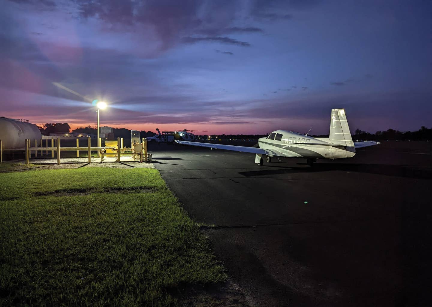
| On a clear, dark night over the desert or other unpopulated area, what's technically VMC can become dangerous to the VFR-only/non-instrument-rated pilot. |
Consider the East Coast of the United States on a hot summer afternoon. Humidity rivals that of a steam room, and temperatures soar. Haze builds until three miles seems like pretty good visibility. In contrast to winter in the north, there are plenty of visual references here, so keeping the airplane right-side up isn't difficult at all. Or is it?
What if your flight follows the Atlantic coast to a coastal village? The last leg of the flight will take you over a portion of the Atlantic Ocean. Visibilities at reporting stations along the coast are all about five miles in haze. Fairly good basic VFR, right?
The flight includes an intermediate stop to pick up a passenger. Delays caused by business and traffic en route to the airport cause you to arrive at your intermediate stop just after sunset. You spend a few minutes loading your passengers, and then you launch toward your weekend destination. This is the leg of the trip that crosses water, but it's a beautiful evening with calm winds and smooth sea surface.
The route of flight extends a maximum of about seven miles from shore at one point, crossing a large bay. As you proceed toward your destination, you realize that there's no longer a visual horizon. The ocean surface is impossible to see as well. Lights on shore are seven miles away---in five-mile visibility.
John F. Kennedy Jr. and his passengers lost their lives in similar conditions a few years ago. This scenario may be a little closer to home than the Alaska flight described earlier, but the conditions are very much PVFR.
Finally, consider a flight in low but legal VFR conditions near Oshkosh, Wis. Departing from the big air show in four-mile visibility, you're homeward bound---to the east. Reporting stations to the east are declaring clear skies and visibility of 10 miles. To the east, however, lies Lake Winnebago. Do you go around the north end of the big lake or go direct? Again, visual references may be totally absent over the lake, even though visibility is above basic VFR.
Perhaps the most significant difficulty in these situations is for the pilot to recognize that he or she is entering IMC, even though the visibility and ceilings meet the basic VFR requirements. Operating visually in PVFR conditions can rapidly result in a loss of control, unless the pilot quickly recognizes the deteriorating conditions and performs a 180-degree turn to exit those conditions, or successfully and quickly transitions to flight by instruments.
So, what can we do to better prepare ourselves for a possible foray into PVFR? The answers to this question are simple, but the actions implied by these answers are more difficult to accomplish than they may seem at first blush.
 |
| When acquiring your preflight weather briefing, you should investigate weather patterns in areas you frequent (be more conservative in less-familiar destinations). Additionally, pay attention to the landscape and potential obstacles you could encounter on your next flight. |
First, pilots should view visibility forecasts with a skeptical eye. I don't mean to suggest that forecasts are always flawed. I'm thankful that I'm not a forecaster, since accurate forecasting, particularly over large parts of the country, is a daunting task. There's no doubt in my mind that forecasters do the best they can, but the forecasts they generate are frequently in error. So, when acquiring your preflight weather briefing, dig a bit deeper than just the basics. Try to discover trends. Find out what direction the weather is moving, and look at observed weather conditions "upstream" from your route of flight. Consider whether the observed weather is better or worse than the previous forecast suggested it should be. Learn about the weather patterns in areas you frequent, and be more conservative in areas you're unfamiliar with.
Next, look at charts of the area. Are there portions of your route that may offer poor visual references? Crossings of large lakes or the extensive prairie country in the Midwest in winter can create a PVFR scenario in low ceilings or restricted visibility.
Talk to the locals. I've found that most pilots are happy to provide visitors with advice on flying safely in their part of the country. Warren Thompson in Kotzebue was responsible for my introduction to PVFR in that part of the world. Thompson worked for many years at the Kotzebue Flight Service Station, and in his free time, he flew for an air-taxi operator. Thompson not only briefed the forecasts to pilots in the area, but also flew the weather himself. Unfortunately, the consolidation of Flight Service Stations has nearly eliminated this kind of local knowledge among FSS briefers.
Be conservative. This is easy to say while you're at home, perusing the weather via the Internet or talking to a briefer. Spend three days camping in the rain at a small airport a few hundred miles from home and that conservatism gets harder to maintain.
If you climb into an airplane and launch, telling yourself you can always turn around, it's even harder to fold your cards and perform a 180-degree turn, but that critical maneuver must always remain as an option.
Lastly, maintain instrument proficiency. I offer this as a last resort because, as noted, the accident database suggests that even highly experienced, instrument-rated pilots often do a terrible job of making the transition from VMC to instrument flight. Climbing into IMC and transitioning to instrument flight from the visual should be a planned act, not a get-out-of-jail-free card, to be played only if things really turn sour on you.
Most of all, every pilot should understand that even basic VFR weather can create conditions under which it's impossible to operate an aircraft by visual references. As you plan your flights, consider not only the weather conditions you're likely to encounter, but also the terrain and any obstacles you're likely to encounter en route, and whether or not you can maintain visual flight under those conditions.

Subscribe to Our Newsletter
Get the latest Plane & Pilot Magazine stories delivered directly to your inbox


