Mastering Mountain Flying
The NTSB has issued a Safety Alert for those who fly over high places
 |
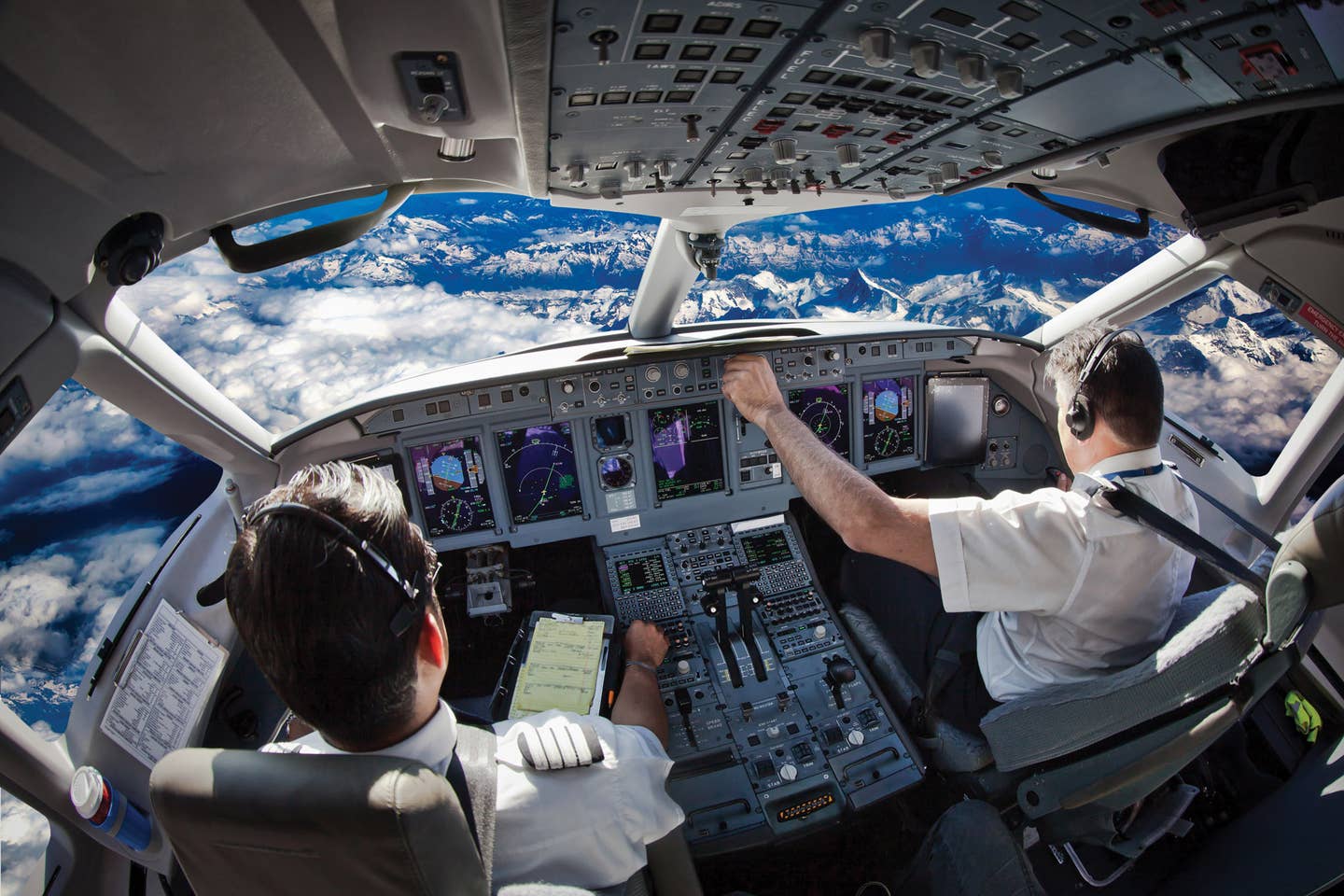
As part of its effort to reduce the number of general aviation accidents, the NTSB from time to time issues Safety Alerts aimed at general aviation pilots. One of its recent efforts is designed to convince pilots that specialized training is essential if you plan to venture above the mountains. The Safety Board begins the Safety Alert titled "Mastering Mountain Flying" by identifying three key factors which, it says, define the problem. First, pilots with limited or no training in mountain flying can be surprised about their aircraft's different performance at high-density altitude, often leading to serious or fatal accidents. Second, wind and other weather phenomena interacting with mountainous terrain often leads unsuspecting pilots into situations that are beyond their capabilities. Third, should a crash occur, a pilot who survives the crash but doesn't have emergency or survival gear immediately accessible may not survive the harsh environment until rescuers are able to reach the location.
The Safety Board turned to its accident files for examples of what can go wrong when the pilot is unprepared for the peculiarities of mountain flying.
PA-28-235
On June 30, 2014, a Piper PA-28-235 crashed into mountainous terrain at the Loveland Ski Area near Georgetown, Colo. The pilot and two passengers were killed, and the airplane was destroyed in the impact and fire. The airplane was operated by the pilot on a Part 91 personal flight. Visual meteorological conditions prevailed for the flight from Rocky Mountain Metropolitan Airport (BJC), Broomfield, Color., to Moab, Utah.
A manager at the FBO in Broomfield told investigators the pilot was looking for information on how to get over the mountains. She said there was no one at the FBO who could provide him information on mountain flying, and there was no information posted. She later heard that the pilot planned to take off VFR and fly through the mountains by following an interstate highway.
A line technician who talked to the pilot while he was readying the airplane for departure reported that the pilot said they were going to Moab for a couple of days, then were flying to the Grand Canyon for a couple of days, then going to Los Angeles. The line technician said the pilot and his family were in good spirits and weren't in a rush to take off. The line technician said he didn't see the pilot do a preflight of the airplane, but did watch him start the airplane and taxi it to the self-serve pumps. A fuel receipt from the fixed-base operator showed that the pilot loaded the airplane with 57.86 gallons of fuel.
The airplane departed at about 8:15 a.m. The pilot didn't contact air traffic control, but ATC radar data showed the airplane departed BJC to the west, and was squawking 1200 at 5,500 feet MSL. Radar data indicated the airplane turned south and continued to climb to about 10,400 feet. Once the airplane reached Interstate 70 at Golden, Colo., it turned west into the mountains. At about 8:37 a.m., the airplane passed over Idaho Springs, Colorado, at 10,400 feet MSL. Radar contact was lost just past 8:39 when the airplane was nine miles west of Idaho Springs at an altitude of 10,200 feet.
Several witnesses saw the airplane as it approached the Loveland Ski Area, which is about 20 miles west of Idaho Springs. One witness saw the airplane banking hard left about 200 feet above Interstate 70. He said the airplane then "just fell out of the air and crashed." The witness said that other than the low altitude, he didn't notice anything before the crash that indicated a problem.
Another witness said the airplane's path seemed pretty flat with very little gain in altitude. The witness expected the airplane to pull up as it approached a mountain, but the airplane didn't gain any altitude. He said the airplane banked left, made a 180-degree turn east and then dropped below a ridge. He then saw a big plume of smoke.
The 42-year-old private pilot was rated for single-engine land airplanes. His most recent FAA third class medical certificate was issued two months before the accident. At that time, he reported having 278 total flying hours.
Based on meteorological data, and an accident site elevation of 11,645 feet MSL, the density altitude at the accident site would have been 12,850 feet. Surface observations for wind at the accident site were approximately 15 knots. However, about 2,000 feet above the mountain peaks in the Loveland Pass area, the wind velocity increased to 30 to 40 knots. Turbulence existed in the area within 2,000 feet of the terrain, and maximum updraft speeds of 300 to 500 feet per minute and maximum downdraft speeds of 300 to 400 feet per minute existed near the accident site.
The NTSB determined that the probable cause of this accident was the pilot's inability to maintain a climb while maneuvering the airplane in high-density altitude conditions that degraded the airplane's climb performance and exceeding the airplane's critical angle of attack, which led to an aerodynamic stall and loss of control. Contributing to the accident was the pilot's inadequate preflight planning and his decision to fly into mountainous terrain.
Mooney M20E
On March 3, 2013, at about 1:20 p.m., a Mooney M20E crashed after departing the Angel Fire Airport (AXX), Angel Fire, N.M. The private pilot and three passengers were killed. The airplane was damaged by impact and fire. The Part 91 flight was in VFR conditions and was en route to the Dallas-Fort Worth, Texas, area.
When the pilot arrived at the FBO in Angel Fire, an employee pointed out that it was exceptionally windy. The pilot said that AXX was the highest airport at which he had landed, but winds wouldn't be a problem for him. The pilot's experience flying out of airports with high density altitude could not be determined by investigators.
About five minutes before the accident, the airport's automated weather reporting facility recorded the wind from 250 degrees at 33 knots gusting to 47 knots, visibility 10 miles, a clear sky, temperature 47 degrees F, dew point 17 F, and the altimeter at 29.93. The density altitude was calculated at 9,549 feet MSL.
When the pilot radioed on UNICOM that he was taxiing to runway 17, the FBO employee gave him the current wind. The employee's view of the takeoff was blocked by snow piles, but he did see the airplane climbing with about a 40-degree crab angle into the wind. The airplane rose and fell repeatedly as its wings rocked. Then, the employee saw the airplane's right wing rise rapidly. The airplane rolled left and descended inverted with the airplane's nose pointed straight down. The airplane came to rest about two-tenths of a mile from the departure end of the runway.
The 33-year-old private pilot was rated for single-engine land airplanes. He held a third class medical certificate. The pilot's logbook wasn't made available to investigators, but insurance paperwork indicated he had logged 459 hours with 384 in the Mooney as of about five months before the accident.
The Angel Fire Airport and the accident site were located in a basin nearly surrounded by mountainous terrain. MounÂtain peaks to the west and northwest of the airport reached between 10,470 and 13,160 feet.
A weather study revealed that the atmosphere around the accident site was unstable, and winds coming down the mountain slopes could be up to 55 knots when reaching the basin. Satellite imagery around the time of the accident recorded standing lenticular clouds near all of the mountainous terrain around the accident site. These clouds indicated the presence of a mountain-wave environment. A weather-forecasting model indicated that the accident site was located within a turbulent mountain-wave environment with low-level wind shear, updrafts, downdrafts, downslope winds and an environment conducive for rotors.
No record could be found that the pilot received a preflight weather briefing from an FAA contract source, and it isn't known what weather sources the pilot referenced prior to takeoff.
The Angel Fire Airport is located at an elevation of 8,380 feet. It has one asphalt runway, 17-35, which is 8,900 feet long by 100 feet wide. Published information about the airport includes the remarks "strong gusty crosswinds possible" and "high density altitude probable." Posters and literature were displayed in the FBO warning pilots about crosswinds, mountainous terrain, weight and balance, takeoff performance, density altitude and runway 17's upgrade.
Maximum gross weight for Mooney M20E airplanes is 2,575 pounds. InvesÂtiÂgators calculated that the accident airplane had been loaded within the weight limitation, to a gross weight of just over 2,518 pounds, but the distribution of the contents placed the airplane aft of the center-of-gravity envelope.
The NTSB determined that the probable cause of this accident was the pilot's loss of control while flying in a turbulent mountain-wave environment. Contributing to the accident was the pilot's overconfidence in his ability to pilot the airplane in gusting wind conditions and his lack of experience operating in mountainous areas.
In its Safety Alert, the NTSB said that flight instructors should encourage their students to attend a quality mountain-flyÂing course before attempting flight in mounÂtainous terrain or at high-density altitudes. It suggests that pilots learn how weather works in mountainous terrain, consult with local flight instructors who are familiar with local terrain and carry survival equipment. The Safety Board said people working at FBOs in mountainous terrain should be alert for pilots who could benefit from mountain-flying instruction.
Peter Katz is editor and publisher of NTSB Reporter, an independent monthly update on aircraft accident investigations and other news concerning the National Transportation Safety Board. To subscribe, write to: NTSB Reporter, Subscription Dept., P.O. Box 831, White Plains, N.Y. 10602-0831.

Subscribe to Our Newsletter
Get the latest Plane & Pilot Magazine stories delivered directly to your inbox

