The Longest Atlantic Crossing
There are several ways to cross the Atlantic by air. A diagonal route is one of the easiest but also one of the longest.
St. John's, Newfoundland, Canada, perches on a promontory of land that protrudes into the North Atlantic, so naturally, that's where they built the airport. The runway doesn't extend to the coast, but it's close enough that aircraft departing eastbound are over the ocean soon after takeoff.
If you're headed for southern Europe or Africa, St. John's is the logical departure point from North America. Like most of Canada, St. John's is a friendly place, courteous and ultimately accommodating, with pretty much everything pilots need for long-distance, over-ocean travel.
The distance from St. John's to Shannon, Ireland, is only 1,700 nm, and you'll enjoy more benign atmospherics most of the way across.
If your destination is southern Europe, the Middle East or Africa, St. John's is a favored jumping-off spot. One major advantage is often better winds, as much as a 30-40 knot push if you're headed for Africa at normally aspirated altitudes.
Another is warmer weather in winter. Airframe icing is less of a problem on that route than flying the northern track over Greenland and Iceland. With no land to provide lifting forces, the ride can be smoother and more comfortable once you're 50 miles offshore from Canada. In other words, you'll probably have a better all-around experience.
Most of the time, Santa Maria, Azores, is blessed with decent VFR conditions, usually more reminiscent of the sky above Southern California rather than the middle of the Atlantic.
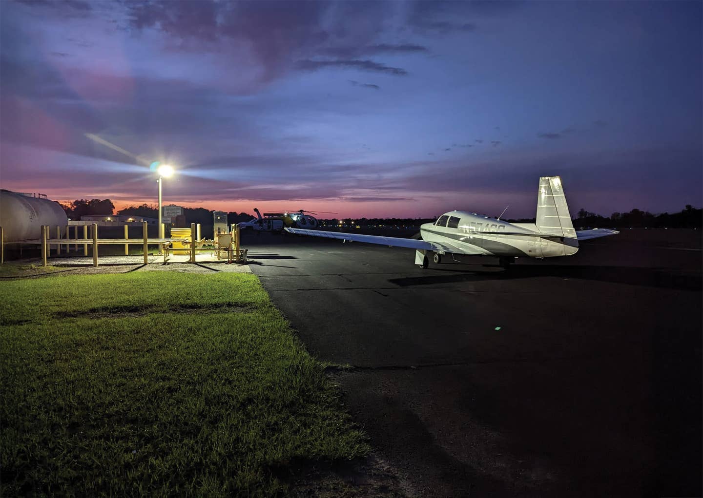
Several years back, I was hired by a prominent South African surgeon to fly his new Mooney Ovation across the Big East Pond diagonally from the Mooney plant in Kerrville, Texas, to Durban, South Africa. Dr. Johann van der Merwe was excited about the chance to ride the right seat across the ocean in his new airplane and see roughly half the planet roll beneath his wings. The owner had just completed an Ovation transition course at FlightSafety in San Antonio, and he hoped to use his Ovation around southern Africa.
One of the most common questions about flying the ocean is about airframe icing, and because our trip was in March, the ideal time to pick up ice, we did see a little rime. I've written about icing many times before, so I won't belabor the point, but the good doctor did see some rime ice on the leg from Bangor into St. Johns. He asked if I ever allow icing to cancel a trip, and I told him no, but I'm not immune from icing concerns.
For better or worse, people do buy airplanes in other seasons than summer. You won't make much money if a prospective client asks for a delivery in early December, and you tell them you only fly the ocean in July.
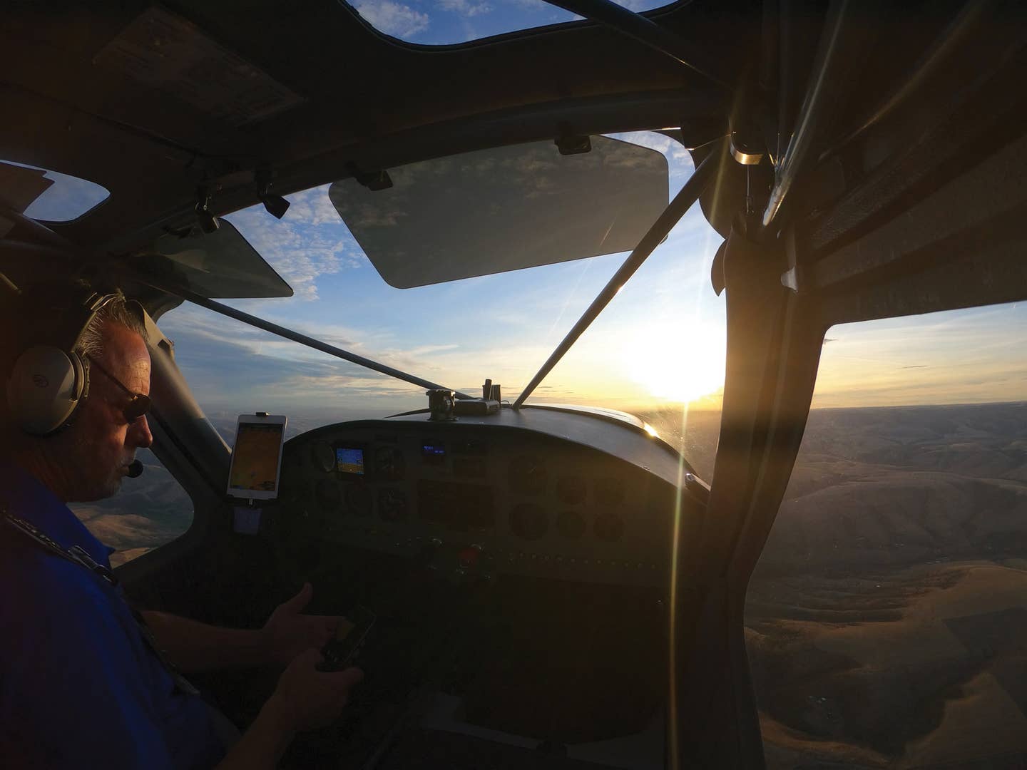
After cruising happily at 180 knots groundspeed for seven hours with nothing to see, Dr. van der Merwe suddenly came alive and asked, "What the heck is that?" pointing ahead and to the left. We had been flying at 9,000 feet above a solid undercast for most of the trip, and there had been nothing to see except blue sky above and a flat layer of white cloud below.
The doctor was pointing at a single round dormant volcano sticking up through the white stratus a few miles away. "That's Mount Pico," I said, "and it's only 7,700 feet tall." The mountain comes as a shock if you're not expecting it, since virtually all the surrounding terrain isn't terrain at all. It's Atlantic Ocean for a thousand miles in every direction. Mount Pico is a geological beacon that you're just over halfway across and approaching your next overnight fuel stop at Santa Maria.
I had the same surprise during the first overseas delivery of a Cessna Crusader twin from Wichita to Johannesburg many years before, and I had been just as surprised to see that volcano interrupting the horizon so far from an established land mass.
The Azores aren't necessarily an exciting destination in their own right, but they're perfectly positioned if you're headed for Portugal, Spain, France, Italy, Greece or anywhere in the Middle East. The islands lie only 800 nm off the west coast of Portugal, and they make good stepping stones for virtually any destination in Africa.
In our case, we stopped overnight in the principal Azores isle of Santa Maria, then continued southeast to Tenerife in the Canaries, playground for Europe's rich and famous.
So far on this trip, we had covered about 5,000 nm, but we still had nearly the same distance to go to our destination.
As the name implies, South Africa is at the far bottom of the continent, and most of the favored route is over desert or water.
After a day off in Tenerife, we topped up the Mooney for the long leg across the southwest Sahara to Abidjan, Ivory Coast. This was the first time Dr. van der Merwe had ever seen this part of Africa at a modest 9,000 feet, though he had looked down at North Africa from the flight levels on British Airways a few times. South Africa's apartheid racial policies had just been repealed following a decades' long uprising by the African National Congress, led by Nelson Mandela, as well as from political pressure from abroad.
The next day, we landed at Abidjan, Cote D'Ivoire. Because of disputes between countries in the south of the continent, the route south out of Abidjan was politically precarious. At any given time in Africa, there were as many as a half-dozen countries at war with one another, so we needed to be on top of the situation and enter our routes very cautiously.
The next day's stop was Libreville, Gabon, where the customs officers were very interested in the doctor, as he was the first South African citizen they had seen since the repeal of apartheid. From there, it was on to South Africa.
Fortunately, the 800-mile leg across the Gulf of Guinea, overflying the tiny island nation of São Tomé and PrÃncipe, to Gabon wasn't any problem, but after that, we had to transition through the airspace of Congo, Zaire and Angola.
Accordingly, we chose to simply not fly in their airspace at all. The only thing we knew for sure was that Angola was heavily subsidized by the Russians. There was a big airport right on the Angolan coast that we watched carefully as we passed it. As I remember, it was named Yuri Gagarin Air Base.
It was hazardous duty. When I started in the ferry business in 1977, with Globe Aero of Lakeland, Florida, we had two pilots who had to make emergency landings in Angola and were imprisoned as American spies for Namibia; the Angolans and Namibians were at war at the time. One pilot spent six months in jail in Luanda, Angola's capital, and the other spent a year in prison. Both were eventually traded for a Russian spy held by the U.S.
Accordingly, when we left Libreville, Gabon, we headed straight out into the South Atlantic for 30 miles---well out of TOW missile range---then turned south to parallel the coast of Angola for 1,000 nm and finally turned back toward land after we passed the outflow of the Cunene River that marks the border with Namibia, which was less risky to transit. After an uneventful trip south off shore, we landed safely an hour later at Windhoek, Namibia.
From Windhoek, the final leg was an easy 800 nm across the Kalahari Desert at the bottom of the continent to Durban, South Africa.
Our trip had consumed 10 days, and we had covered almost 10,000 nm, and we were lucky. We had good weather and some strong tailwinds, and we avoided any political problems.

Subscribe to Our Newsletter
Get the latest Plane & Pilot Magazine stories delivered directly to your inbox


