 Pilots tend to be a fairly ethnocentric bunch. We think the world revolves around (under) us, and if it doesn't, we all know it should. Perhaps for that very reason, we regard GPS as a dedicated aviation product when, in fact, aeronautical applications make up a tiny percentage of GPS missions. GPS has permeated virtually every type of transportation, from cars, motorcycles, trucks and buses to boats, snowmobiles, bicycles, dune buggies and dog sleds. The system is employed to keep track of pretty much anything you can imagine: pets, valuable possessions and even people.
No big surprise, then, that Garmin International would introduce a new product to cover practically all bases. Better still, the new Garmin Aera series does it all without the plethora of external knobs or switches common to most typical GPS receivers.
First, though, about that name. Lest you regard the Garmin Aera GPS as simply a misspelling of "area," it's actually a Garmin sound-alike nonsense term built around "aero," implying an aviation product. Make no mistake, the Garmin 696 is still the top-of-the-line semi-portable GPS with a top-of-the-line price ($3,595) and ultimate capability.
The Aera is intended as a crossover navigator for planes and automobiles. Price is $2,199 for the top-model 560, graduating down to $875 for the basic 500 system. The differences are related to availability of XM weather, Safe Taxi charts and the AOPA Airport Directory.
The Aera is slightly larger than an iPhone, and it employs a similar touch-screen control that works so seamlessly, a preteen could learn it (probably a lot quicker than most adults). The Aera relies heavily on technology used in its previously introduced Nuvi, and it isn't the first Garmin product that can be applied to automotive and aviation applications. It is, however, probably the product that's most readily adaptable to both tasks, demanding little more than the touch of a screen icon.
Garmin likes to say the Aera is a door-to-door system rather than merely a runway-to-runway unit. In other words, you could use it in automotive mode to find the airport (in the unlikely event that you don't remember where you parked the airplane), switch to aviation mode for your flight, then switch back to auto mode to find the nearest Pizza Hut at your destination.
Right up front, it's important to acknowledge that, no matter what the Aera's talents, some folks probably will still prefer the 496's external controls. Unlike most touch-screen systems that seem to require differing amounts of pressure in different areas of the screen on different days, the pressure sensitivity on the Aera is a fixed value. This is because the Aera doesn't use the sometimes overly sensitive technology employed on the iPhone, a system that sometimes calls up functions you didn't ask for. (Fortunately, the iPhone rarely is used in turbulence.) Instead, the Aera uses a resistance system that employs spacers to insulate the controls and avoid answering your requests until you press harder and convince the system you really mean it.
Garmin has become famous for producing the most talented and telegraphic portable and integrated GPS devices on the market, everything from the all-glass, flat-panel G1000 and G600 to the company's line of clever mini-GPS units. Specifically, the latter are the XX6 series: the 196, 296, 396, 496 and 696. (What about the 596?) The 396 and 496 were game changers for Garmin, the products that many pilots regarded as the peak of the skill-set pyramid. The duo-chrome 196 and color 296 introduced the form factor that would serve through the 496, but the 396 probably was the biggest win. It was one of those products pilots regarded as an ultimate "gee-what's-left-to-be-done" GPS navigator.
 My now-out-of-production 396 accompanies me all over the world as a backup on ferry flights. I wind up using the 396 as a convenient sidekick to the panel-mount 430s and 530s installed in most ferry airplanes. I usually position it on its beanbag platform on top of the panel and couple it to ship's power. It's so convenient to pull off the panel and use in my lap that I'll often input the full 2,000 nm flight plan and leave the panel-mount box set on the destination waypoint. This way, I have an instant reference for time and distance to next waypoint and destination without sacrificing other information.
On the Santa Barbara to Honolulu Pacific leg, for example, I could be halfway across, between Dopps and Dialo intersections, and know that I'm 102 miles (30 minutes) out of Dialo but still 1,207 nm (5 hours and 54 minutes) from Honolulu. I also have an AA-powered 196 tucked into my flight bag, just in case.
In fact, you might call me something of a Garmin junkie. There's a miniature 96C attached to the handlebars of my BMW motorcycle, and I've mounted a 496 on the left yoke of my Mooney. In at least some respects, the new Aera does all of them one better.
In truth, the Aera doesn't bring any major new features to the table. The Aera's mere form factor is the big news. Its primary attraction is simply its bright screen and telegraphic touch controls.
All functions are organized into chapters. "Home" devolves to the usual navigation functions---direct to, terrain, waypoint information, map, numbers, position and the like. "Nearest" calls up your choice of airports, VORs, NDBs, intersections, user waypoints, FSSs, ARTCCs and other nearby features. In XM WX mode, you can choose from METARs, AIRMETs, SIGMETs, echo tops, storm cells, winds aloft, lightning, pireps, freezing level, forecasts and even sea temperatures. Under "Tools," you'll find flight logs, track logs, E6B, GPS status and probably some other things I forgot. Oh, yes, there's weight-and-balance capability added to the tools chapter.
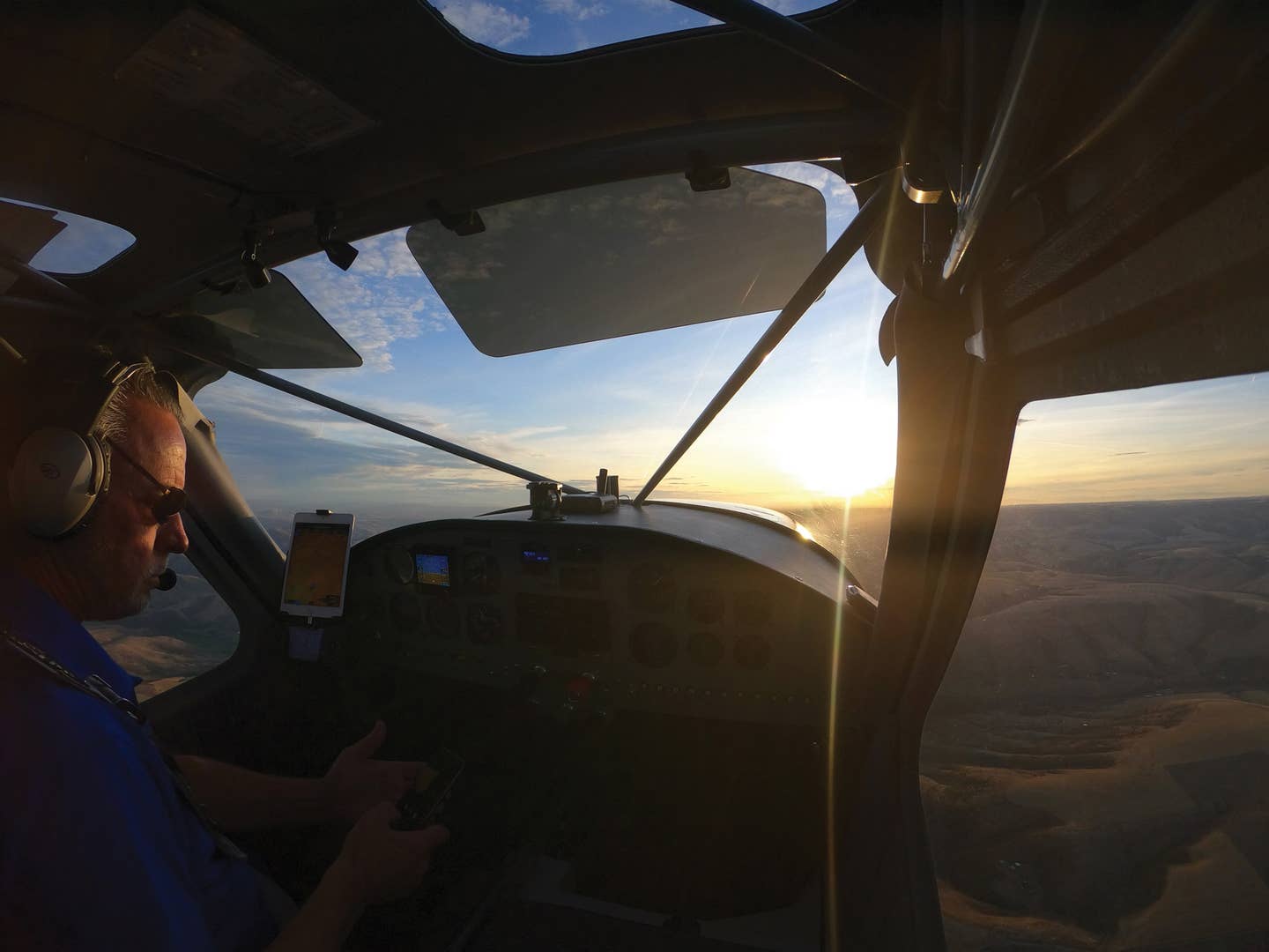
Like the 195 and 96C, the Aera includes a built-in antenna. I attached the test unit to the right yoke of my Mooney, and it never had any problem locking on to satellites in less than a minute, this despite the overhang of the panel cover and a generally poor view of the sky. If I owned an Aera, I'd probably plug in the external antenna and lay it on the panel for even better signal acquisition.
Don't let the Aera's talents intimidate you, and don't let its 184-page manual cow you. The system is so intuitive, you won't need an engineering degree to work your way through the functions. Garmin has been especially amenable to the KISS principle, keeping things as simple as possible. When I received my evaluation unit, I deliberately left the manual in the box. My degrees aren't in engineering, but I was able to figure out most functions in a few minutes by trial and error.
Screen size becomes especially important in a system that has no buttons or switches but relies on the screen itself for command entry. The Aera's display is a 4.3-inch QVGA that's slightly larger than the one used on the popular 396/496 (technically, a 28% increase in area for the Aera).
Garmin isn't the first to explore touch-screen GPS---Anywhere Map's ATC and Bendix/King's AV8OR and AV8OR Ace came first. The Aera's yoke mount is among the most flexible of all, allowing quicker disconnect for those instances when you need to move the unit between vehicles.
The map is vivid and intense, kept that way by a fast 5 Hz refresh rate. The terrain database includes data points every nine arc seconds, approximately 44 per square nm. (Less expensive models offer 30-arc-second mapping, four data points per nm.) The pseudo keyboard allows for direct input of waypoints rather than using a rocker to scroll through the alphabet one letter at a time.
Just as with Garmin's XX6 series, which offers the "quit" key, the Aera provides a "back" key to let you retrogress one step. When you're done working with a given page, you can step back to the map or navigation page with a single push.
Things have changed a little since the early days of GPS. When the Navstar universe was complete and GPS became fully operational in the mid-'90s, everyone became fascinated with the ability to make direct-to flights rather than the squiggly-line trips often necessitated by VORs. That's still an important feature, but these days, with the advent of TFRs and other restricted airspace, flight plans are becoming more relevant. The Aera offers storage for up to 50 flight plans, which ought to be enough for anyone.
As with the 396 and 496, the Aera also offers terrain and traffic with pretty much the same presentation. The system will interface with the 330 Mode S transponder to display traffic, and you can transfer frequencies directly to Garmin's SL30 or SL40 NAV/COM through the Aera. The Jeppesen database is huge, providing enough terrain and obstruction information to please the most picky mapmaker.
Just as many pilots educated on steam gauges greeted the remarkable, integrated G1000 glass flight deck with mixed reviews a few years ago, touch-screen controls are a step up we all need to get used to. Remember, in aviation more than most other disciplines, change is inevitable, except from vending machines.

Subscribe to Our Newsletter
Get the latest Plane & Pilot Magazine stories delivered directly to your inbox

