FlightPrep ChartBook
A digital replacement for most cockpit paper (but keep your clearance pad!)
 Over the years, we've reviewed quite a few electronic flight bags (EFBs) and other devices that have claimed to eliminate paper from the cockpit. While each had its pros and cons, the fact remains that nothing has been a complete replacement for paper charts, especially for instrument pilots. FlightPrep's ChartBook comes close, offering FAA NACO sectional, WAC, TAC, high- and low-altitude instrument procedures, plus GPS moving map, flight planning and optional in-flight weather and traffic-avoidance functions. All this in a hardbound-book-sized package that weighs less than three pounds and works quite well in the cockpit.
Like other EFBs, ChartBook is based on a general-purpose computer; but FlightPrep chose a different platform than the usual notebook or tablet PC. ChartBook's hardware is a modified version of a CTL Convertible Classmate PC, built on Intel's Atom processor (also used in low-cost "netbook" devices) running Microsoft's Windows XP Home Edition. The Classmate PC is a small notebook PC for school children, which accounts for its relatively small size (9.5x7.5x1.5 inches) and diminutive keyboard (adults may find it cramped). I didn't write this article on it, but it was perfectly acceptable for preflight use, i.e., entering waypoints and getting weather briefings. The term "convertible" refers to ChartBook's touch-screen display, which folds down over the keyboard to make a tablet PC--like package that can be controlled using the built-in stylus or a fingertip.
FlightPrep made two major modifications to turn CTL's Convertible Classmate into an effective EFB: First, the hard disk is replaced with a 32 GB solid-state disk (SSD) that has no moving parts and can be used at any altitude (conventional hard disks have media that spin at high speeds, cushioned by air pressure, which makes them vulnerable to shock and prone to failure in the flight levels). Second, my evaluation unit had an upgraded screen with increased brightness (a $200 option). It was easily the brightest and clearest display I've seen on any battery-powered EFB---it worked well even in direct sunlight (at full brightness, I could use it with sunglasses). I'd highly recommend it to anyone considering ChartBook.
To exploit ChartBook's hardware, FlightPrep bundles it with its ChartCase Version 5 software. It has two operating modes that neatly match the hardware's two configurations: By default, it starts in a preflight mode with a Windows menu bar. This worked well with the ChartCase in a conventional notebook PC configuration. It provides full flight planning and filing (including a sophisticated plain-language router function that lets you combine automatic routing at selected altitudes on Victor airways with specific fixes) and full DUATS weather briefing and filing functions, with both a configurable computer-generated vector chart and on-screen display of raster-scanned versions of NACO paper charts.
For cockpit use, there's an in-flight mode (selected from a toolbar icon) that does away with the Windows menu bar and, instead, operates from large on-screen buttons that are easily selected with a fingertip. By default, the in-flight mode splits the display between an editable route list and GPS moving map, but if you press the "Charts" button, it'll switch to a full-screen display that shows a sectional chart with the aircraft position superimposed over it. At that point, other buttons will let you look at any of the other charts (such as the low-altitude en route chart in our photo), and zoom in or out (there are eight zoom levels).
Both vector and (in most cases) raster charts show the aircraft position as reported by a wireless GPS that's included with ChartBook. Another button press takes you to instrument procedures, which are cleverly selected using an on-screen display (pan to the area around your destination and zoom in to limit the number of airports; the list of procedures will match the airports on the display). Just like the raster charts, most instrument procedures are georeferenced, so you'll actually "see" the airplane flying down an ILS localizer, and on airport diagrams, you can see exactly where you are with respect to taxiways.
ChartBook's in-flight mode even includes a highway in the sky (HITS) function that offers synthetic vision--like features, showing terrain ahead of the aircraft and a "tunnel" illustrating the flight plan. Add an optional WxWorx satellite weather receiver and/or a Zaon XRX traffic receiver, and the moving map display can show weather and traffic, much like a glass-panel MFD.
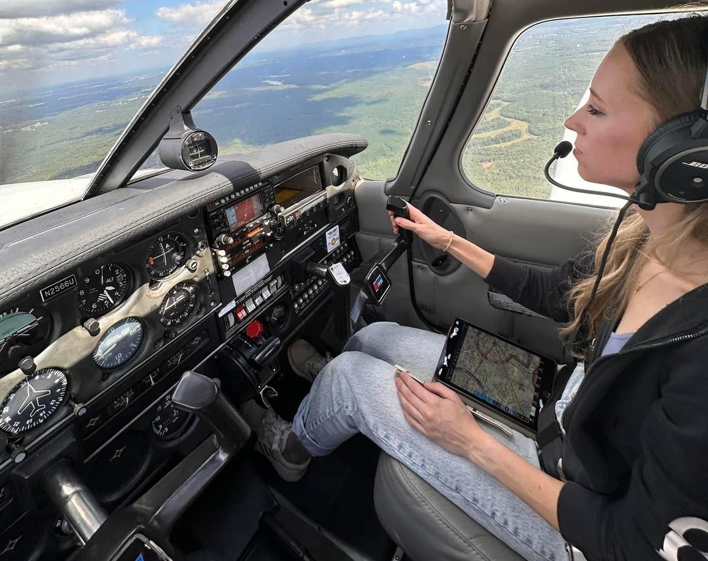
Having said all that, it may be worth pointing out a few limitations: ChartBook isn't TSO'd, so it can't be used on Part 135 or Part 121 revenue flights. It legally can replace paper charts on Part 91 GA flights, but can't be used as a primary navigation source. According to FAA AC 91-78, Class 1 commercial off-the-shelf EFBs like ChartBook are supposed to be stowed during critical phases of flight. FlightPrep offers several mounting options, including a $27.95 Velcro strap for the pilot's leg that turns ChartBook into a Class 2 device that can be legally used during any phase of flight. I tried that, and it worked fine (or you can spend more money for a yoke mount).
I tested ChartBook on a local VFR flight, and simulated quite a few IFR flights (weather in my area was stubbornly VFR) and came away quite impressed---it takes some time to learn, but once you understand the two operating modes and how to use the route list, ChartBook can replace almost all paper except a clearance pad in a typical GA cockpit. While the 8.9-inch display is slightly smaller than a physical instrument approach plate, the size difference is negligible, and ChartBook's display is so clear that my 51-year-old eyes had no trouble reading fine detail.
I fly regularly into Class B airspace and frequently have to switch on autopilot and dig out my IFR chart atlas to figure out an amended ATC clearance. While ChartBook can show all the charts in my atlas, the small display forces you to either zoom out (at which point the text gets hard to read) or pan around small sections of the chart at higher magnification. I have reservations about using ChartBook at night: Even with the display brightness at the minimum setting, a full-screen instrument procedure can ruin your night vision. In fairness, this is true of just about every other EFB, and ChartBook has a nice trip-kit function that lets you print the charts you expect to use---stow ChartBook and use those with your flashlight as you would conventional charts.
Finally, like most of its competitors, FlightPrep doesn't come with the full printed manual (though a Quick Start manual is included). To be fair, the 232-page Help Manual is loaded on ChartBook as a PDF and also is available online; it appears comprehensive, and the TOC is nicely bookmarked, so clicking on any header jumps directly to your desired section.
Pricing for ChartBook is a little complicated: It starts at $1,795, but that doesn't include the $200 outdoor-viewable "flight definition display" or lap strap. Keeping ChartBook's various raster and vector charts up to date requires a subscription, and FlightPrep offers a wide array of update options. An IFR+VFR subscription including sectional, TAC, low-altitude en route charts and instrument procedures for the lower 48 costs $357. Visit www.flightprep.com.

Subscribe to Our Newsletter
Get the latest Plane & Pilot Magazine stories delivered directly to your inbox

